BOOK NOW

Roads

Cayuse Pass | SR 123

Cayuse Pass | SR 123

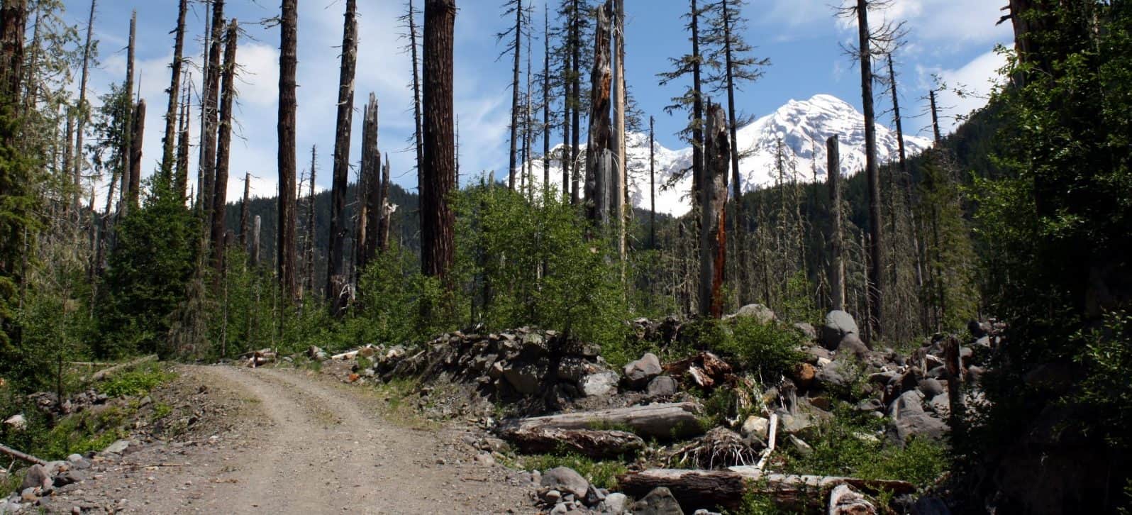
Cayuse Pass connects to Chinook Pass and White Pass on the east side of Mount Rainier National Park. The Cayuse Pass summit is at the junction of State Routes 123 and 410. The 4,675-foot-high pass is about five miles west of the Chinook Pass summit. Closes during the winter months due to snowfall.
Skate Creek Road

Skate Creek Road

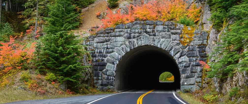
Forest Road 52, also known as Skate Creek Road, travels east to west, between Packwood and Elbe. In the winter months, FR 52 is often gated closed when the snow gets too deep to drive safely.

Chinook Pass | SR 410

Chinook Pass | SR 410

107-mile SR 410, also called the “Stephen Mather Memorial Parkway,” includes the Chinook Scenic Byway. It begins at SR 167 in Sumner and travels southeast to where it meets US 12 in Naches. Closes during the winter months due to snowfall.
Sunrise Road

Sunrise Road

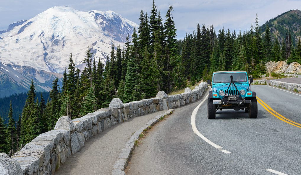
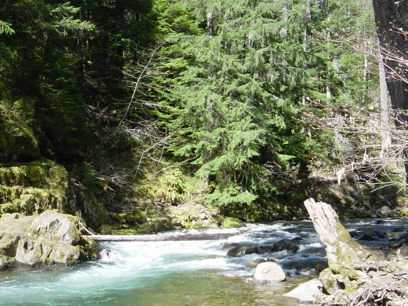
Sunrise is accessed via SR 410. The 15-mile road to Sunrise opens by late June or early July through mid-September. No access for RVs and vehicles with long trailers. In late September, the road to Sunrise closes nightly at the junction with White River Campground and reopens each morning as conditions permit. The entire road to Sunrise is closed for winter in mid-October or earlier with the first heavy snowfall.

Mowich Lake Road

Mowich Lake Road

The 16-mile Mowich Lake Road runs between the town of Carbonado and the Mowich Lake Campground inside Mt. Rainier National Park. The road is primarily graveled with some sections of difficult terrain. Road closes mid-October or with the first snowfall of the winter season.

Stevens Canyon Road

Stevens Canyon Road

A 19-mile road inside Mt. Rainier National Park running between Paradise to the southeastern entrance of Mt. Rainier National Park where it intersections with SR 123, Cayuse Pass. Closes seasonally during the winter months.

Paradise Valley Road

Paradise Valley Road

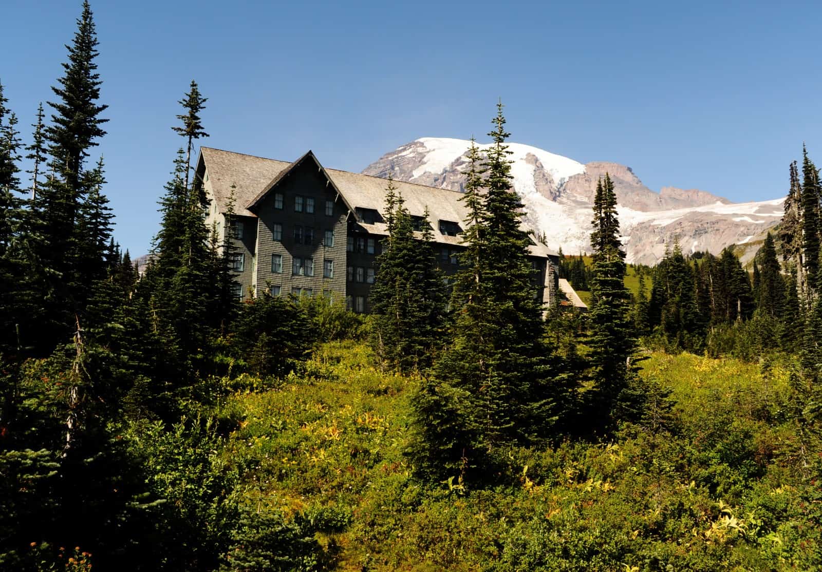
This one-way road is located inside the park beginning at Paradise Inn running 2.2 miles to the intersection with Stevens Canyon Road. Closes seasonally during the winter months.

Westside Road

Westside Road

The Westside Road is located inside the park, .9 miles up the Road to Paradise. The first 3 miles are accessible to vehicles. Vehicles must park at Dry Creek. The next 13 miles provide access to hiking and mountain biking. Users should travel through the area with caution due to steep terrain and rock fall. During winter, snowshoers and cross-country skiers must park at the junction with the Road to Paradise.